Watershed Land Area Classified as "Forested" Continued to Decline
At a Glance
Loss of forest lands puts wildlife populations at risk, reduces recreation opportunities, and threatens our waters. Healthy streams, rivers and lakes depend on healthy forests.
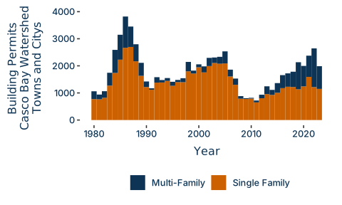
Single family building permit applications increased through the COVID-19 years and beyond, indicating a hot housing market.
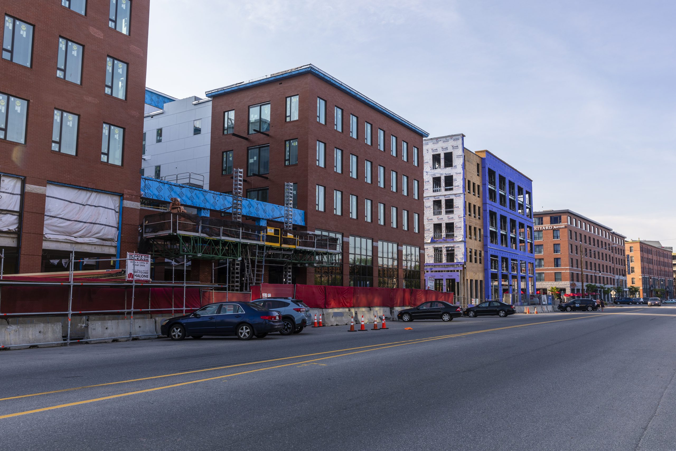
How we plan and build to accommodate growing populations in the region will determine the health of urban and suburban streams.
Since the 2021 Report
Watershed land area classified as “forested” continued to decline, with a net loss in forest cover between 2001 and 2024 estimated at over 50 square miles. Watershed land area classified as “developed” continues to increase, but the growth in development does not explain the extent of decline in forested areas. Automation and other recent methodological changes to mapping land use may account for some changes in land cover classification.
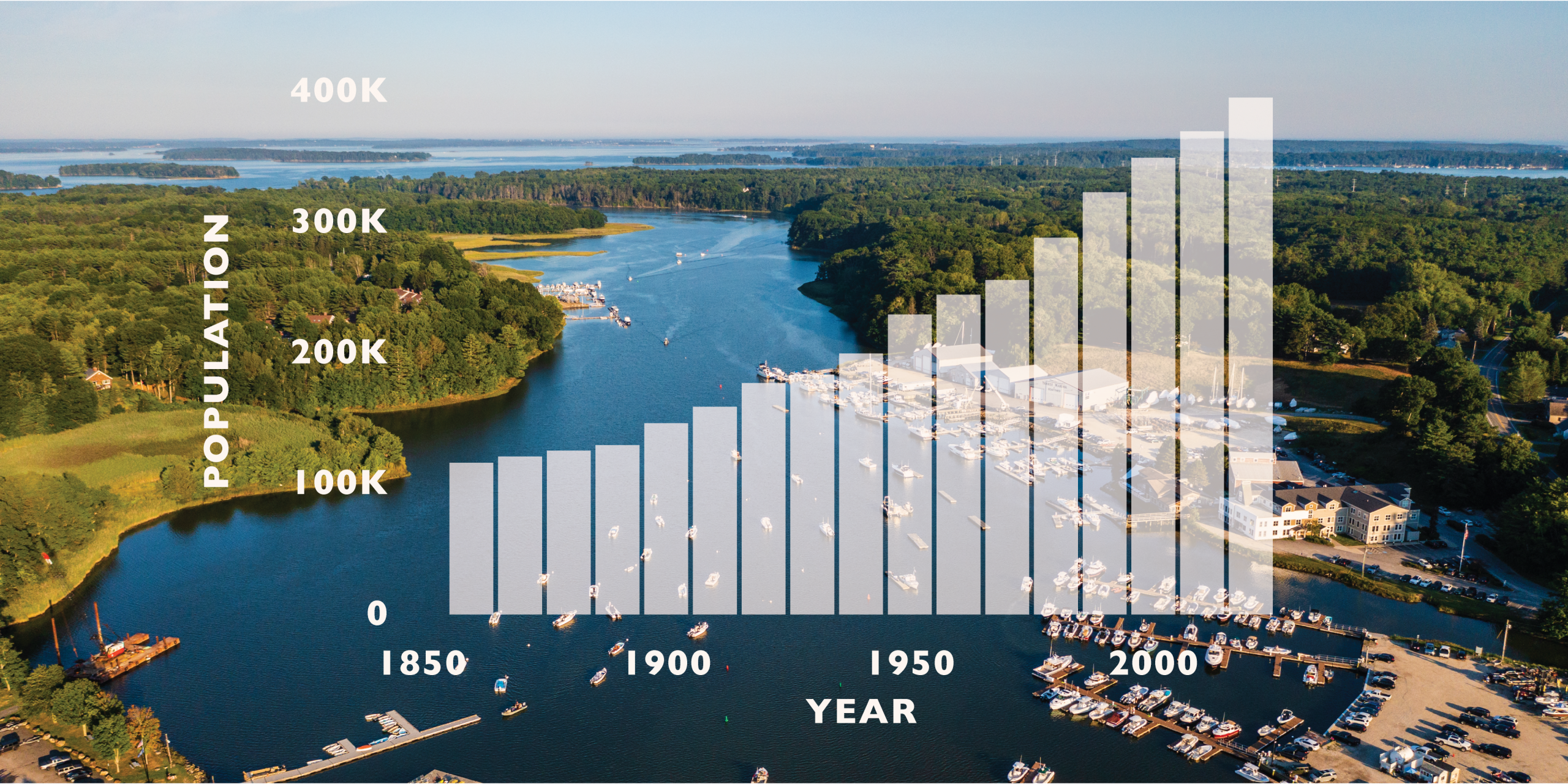
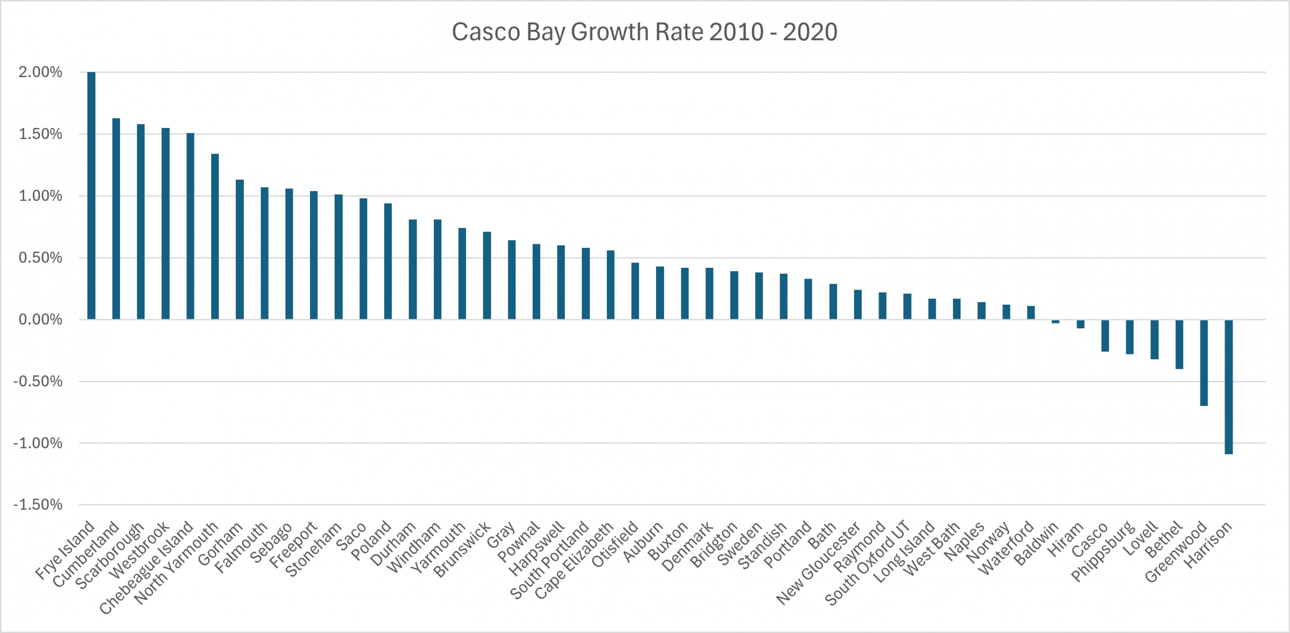
Maine is the second fastest growing state in New England and ranked 25th in the country for population growth on a percentage basis. In 2025 a record high population was reached, estimated to total 1,414,874. Broad social and economic trends, including population growth, contribute to changing patterns in where people work and live in the Casco Bay region and, in turn, the intensity of human impacts.
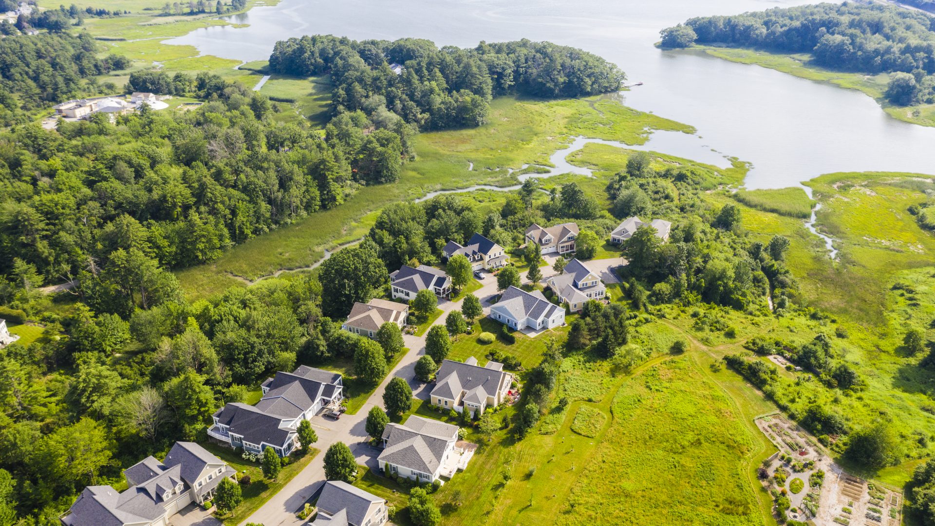
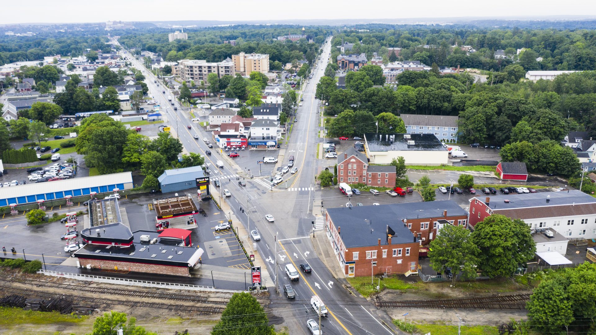
Many environmental stressors affecting the Bay stem from changes in land use in the watershed, particularly loss of forests and the conversion of undeveloped areas to roads, buildings, parking lots and driveways. Suburbanization, or increased development on outskirts of urban centers, of the region contributes to degraded aquatic ecosystems, fragmentation of large undeveloped areas, loss of access to open space, and declines in fish and wildlife habitat.